


Monthly Skyplots > OBET00DEU (Wessling, Germany)
Skyplots
Select a station:
Select a month:
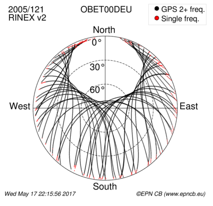
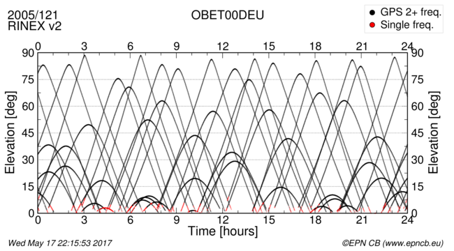
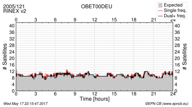
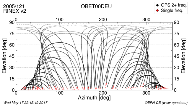
The plots below show a snapshot of the station tracking over one day. They are produced once a month using the daily RINEX 2, RINEX 3, or RINEX 4 observation files. For the RINEX 2 files, only GPS and GLONASS observations are considered. The metrics are computed using the G-Nut/Anubis software, developed by the Geodetic observatory Pecný, Czech Republic.
Data Completeness
Skyplot
Time/Elevation
Time/Number of Satellites
Azimuth/Elevation
Multipath
NO DATA AVAILABLE
Signal-to-noise ratio
NO DATA AVAILABLE